A Bundle is already in your cart
You can only have one active bundle against your account at one time.
If you wish to purchase a different bundle please remove the current bundle from your cart.
You have unused credits
You still have credits against a bundle for a different licence. Once all of your credits have been used you can purchase a newly licenced bundle.
If you wish to purchase a different bundle please use your existing credits or contact our support team.
Loading video...
00:15

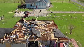
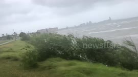
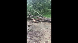
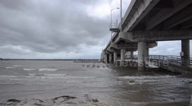
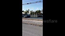
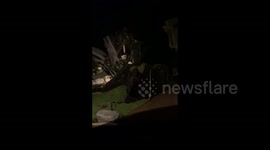
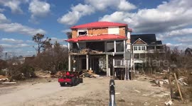
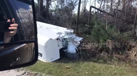
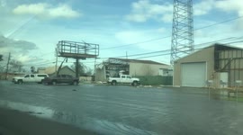
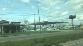
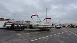
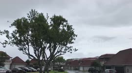
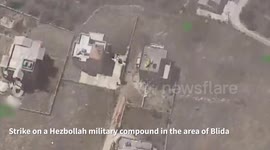
USA: a new remote sensing method for quickly assessing hurricane damage.

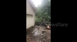
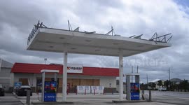
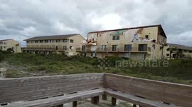
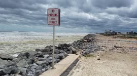
Lee County, FL, USA April 29, 2024
Following Hurricane Ian's devastating impact in Lee County, Florida, researchers at Florida Atlantic University (FAU) developed a revolutionary remote sensing technique to quickly assess storm damage. Using aerial imagery and LiDAR technology, they conducted a comprehensive impact analysis, providing important information about structural damage and changes in beach morphology.
Hurricane Yang, a Category 4 storm, struck Lee County, Florida on September 28, 2022, producing winds of 155 mph and a record storm surge of up to 13 feet. The severity of the storm required rapid and accurate damage assessment to facilitate rescue and recovery efforts.
The analysis revealed a staggering statistic: Of the 2,427 structures on Estero Island, 170 suffered significant damage, with a total estimated cost of more than $200 million. The hardest-hit areas are predominantly located in the central and northern parts of the island, where single-family and multi-family residential buildings took the brunt.
Categories
From the blog
Stories not Stock: 3 Reasons Why You Should Use UGC Instead of Stock Video
Video content is an essential part of a brand’s marketing strategy, and while stock footage has been a reliable go-to in the past, forward-thinking companies are looking to user-generated content for their video needs.
View post