A Bundle is already in your cart
You can only have one active bundle against your account at one time.
If you wish to purchase a different bundle please remove the current bundle from your cart.
You have unused credits
You still have credits against a bundle for a different licence. Once all of your credits have been used you can purchase a newly licenced bundle.
If you wish to purchase a different bundle please use your existing credits or contact our support team.
01:08

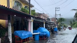
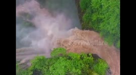
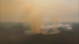
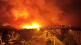
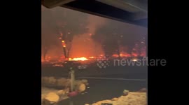
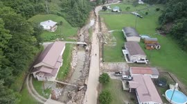
Australia: Raging Floods Shut Down Pacific Highway As Drone Captures Devastation

Taree, Australia - May 21, 2025 Drone footage recorded on May 21 reveals severe flooding on the Pacific Highway, forcing a complete closure in both directions between Purfleet and Coopernook. The closure has brought major disruption to travel through the region, as water levels continue to rise across the highway near Taree South. Authorities are urging the public to avoid flood-affected areas and delay any non-essential travel. For those who must drive, long diversions are in place. Northbound vehicles must detour via the New England Highway from Beresfield to Glen Innes, then take the Gwydir Highway to South Grafton, and follow Big River Way to Tyndale before rejoining the M1 Pacific Motorway. Southbound drivers are rerouted from Tyndale to South Grafton via Big River Way, then onto the Gwydir Highway to Glen Innes, and the New England Highway to Beresfield before rejoining the Pacific Highway. The alternate route is suitable for vehicles up to 26-meter B-doubles and will add about three hours to travel time.
Categories
From the blog
Stories not Stock: 3 Reasons Why You Should Use UGC Instead of Stock Video
Video content is an essential part of a brand’s marketing strategy, and while stock footage has been a reliable go-to in the past, forward-thinking companies are looking to user-generated content for their video needs.
View post